Eagle Crest Aerodrome
Eagle Crest Aerodrome is located 4 nautical miles east of Milton, DE on 15 acres of land. The aerodrome is privately owned by Eagle Crest Aerodrome, LLC and is base to 23 single engine aircrafts.
Location:
FAA Identifier: DE25
Lat/Long:
38-46-34.0000N / 075-14-01.0000W
38-46.566667N / 075-14.016667W
38.7761111 / -75.2336111
(estimated)
Elevation: 28 ft. / 9 m (estimated)
Variation: 11W (1985)
From city: 4 miles E of MILTON, DE
Time zone: UTC -4 (UTC -5 during Standard Time)
Zip code: 19968
Airport Operations
Airport Use: Permission required prior to landing
Please contact Hudson Management for permission. All approved aircraft must provide proof of insurance as specified below: Please provide a Certificate of Insurance and maintain insurance for Aircraft Liability (aka Airplane liability) with minimum limits of at least $1,000,000 occurrence / $2,000,000 aggregate. As owners of the property, Eagle Crest Aerodrome, must be named as an additional insured with waiver of subrogation on the Certificate of Insurance for Aircraft (Airplane) liability coverage.
Activation Date: 03/1983
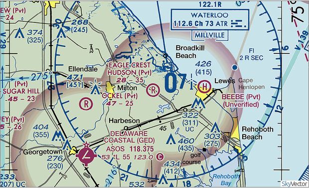
Sectional chart: WASHINGTON
Control tower: no
ARTCC: WASHINGTON CENTER
FSS: MILLVILLE FLIGHT SERVICE STATION
Attendance: Unattended
Wind indicator: yes
Segmented circle: no
Landing fee: yes
Airport Communications
WX ASOS at GED (8nm SW): 118.375 (302-856-2927)
Runway Information
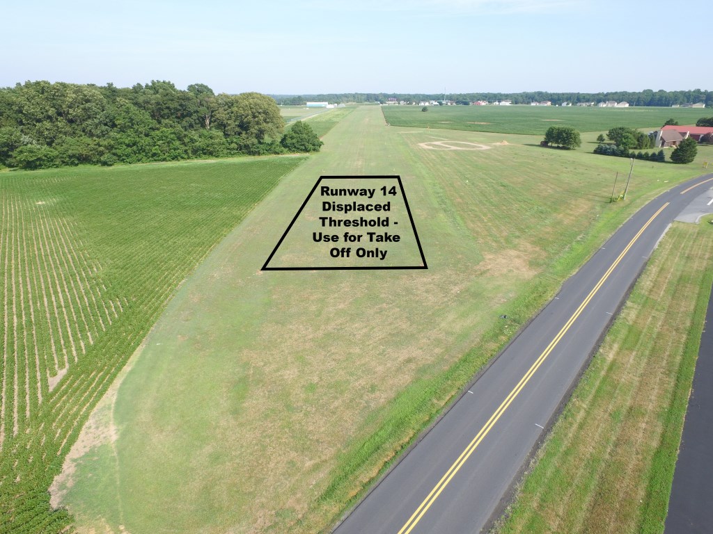
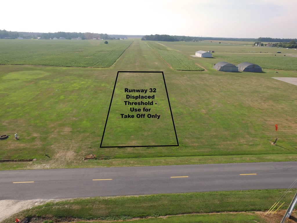
Runway 14/32
Runway 14:
- 3500 x 100 ft.
- Traffic Pattern: Left
- Surface: Turf
Runway 32:
- 3500 x 100 ft.
- Traffic Pattern: Left
- Surface: Turf